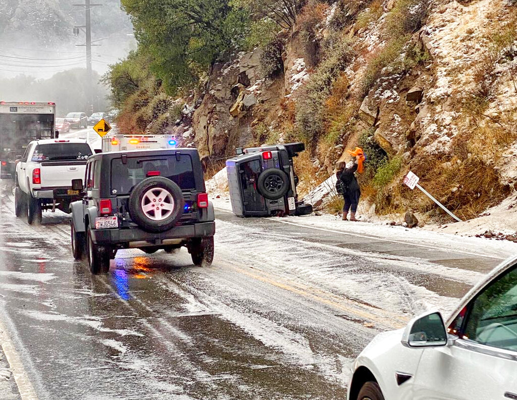
OMAHA, Neb. (AP) — A major winter storm is expected to blanket a large swath of the middle of the country with snow Monday and disrupt travel as more than a foot of snow falls in some areas.
The Midwest snowfall was forecast to stretch from central Kansas northeast to Chicago and southern Michigan throughout the day, with some of the heaviest snow expected in southeast Nebraska and western Iowa. Much of the rest of the area will receive at least 4 inches (10 centimeters) of snow.
National Weather Service meteorologist Taylor Nicolaisen said 10 to 15 inches (25 to 38 centimeters) of snow is likely between Lincoln, Nebraska, and Des Moines, Iowa, and it has been 15-20 years since most of that area received more than a foot of snow from a single storm.
“This is a historic snow,” said Nicolaisen, who is based near Omaha, Nebraska. “It has been a long time since we have seen somebody get a foot of snow in one storm. And we’re very confident that some people will see a foot of snow.”
Officials urged drivers to stay off the roads during the storm, especially when the heaviest snow is expected in the afternoon and evening. Road conditions will worsen throughout Monday. Nebraska State Patrol troopers had helped at least 60 drivers who got stuck or slid off the road by midday Monday.
“Do not travel unless it’s absolutely necessary,” said Nebraska State Patrol Col. John Bolduc.
Several coronavirus testing sites in Nebraska and Iowa planned to close early on Monday because of the snow.
Elsewhere in the U.S., a storm moving across the Southwest on Monday and Tuesday was forecast to bring gusty winds and snowfall, the weather service said. Over the weekend, more than a foot of snow fell in Southern California’s mountains ahead of what was predicted to be a stronger storm.
Authorities urged drivers on Sunday to bring their tire chains to the San Gabriel and San Bernardino mountains east of Los Angeles after 10 inches of snow fell in Mount Baldy and up to 18 inches (46 centimeters) were recorded at the Mountain High ski resort in Wrightwood.
It was a dramatic shift from a week ago, when parts of the Southern California region saw temperatures soar to the 90s. On Sunday, highs were in the 50s.
The California Highway Patrol closed Interstate 5 to traffic Monday in the Tejon Pass, which rises to an elevation of more than 4,100 feet (1,250 meters) through mountains between Los Angeles and the San Joaquin Valley.
Across southern Nevada, light rain and snow at higher elevations was reported Monday.
Forecasters at the Sacramento-area National Weather Service office predict an abundance of snow in the Sierra Nevada between late Tuesday and Friday that may make travel through the mountains difficult.
Flash flood watches were in effect for areas north and south of San Francisco Bay, where the National Weather Service cited “high confidence that thresholds for debris flows will be met” in many of last year’s wildfire burn scars.
